Laguna Niguel, South Orange County

South Orange County community guide

Laguna Niguel

Established hillside neighborhoods, an unusually strong park and trail system, and a short drive to Salt Creek Beach.

Quick orientation

Where Laguna Niguel sits

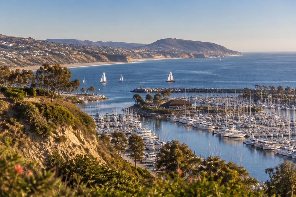
Laguna Niguel sits between Dana Point to the south, San Juan Capistrano to the southeast, Mission Viejo to the east, and Aliso Viejo and Laguna Beach to the north. Crown Valley Parkway and Green Lantern form the main east–west corridors, with I-5 to the east and Pacific Coast Highway to the west. Salt Creek Beach in Dana Point is reached directly from Niguel Road, making beach access feel closer than the map suggests.

Living in Laguna Niguel

What daily life actually looks like

A city built around parks and open space

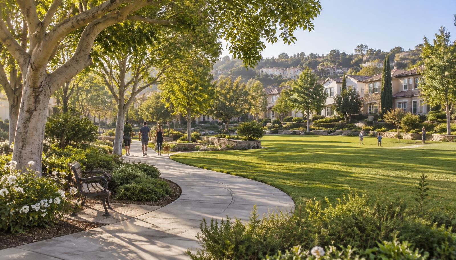
Laguna Niguel Regional Park anchors the center of the city with its lake, lawns, and trail connections, and smaller neighborhood parks are woven through the hillsides. Open space is a defining part of the city's character.
Established, not newly master-planned

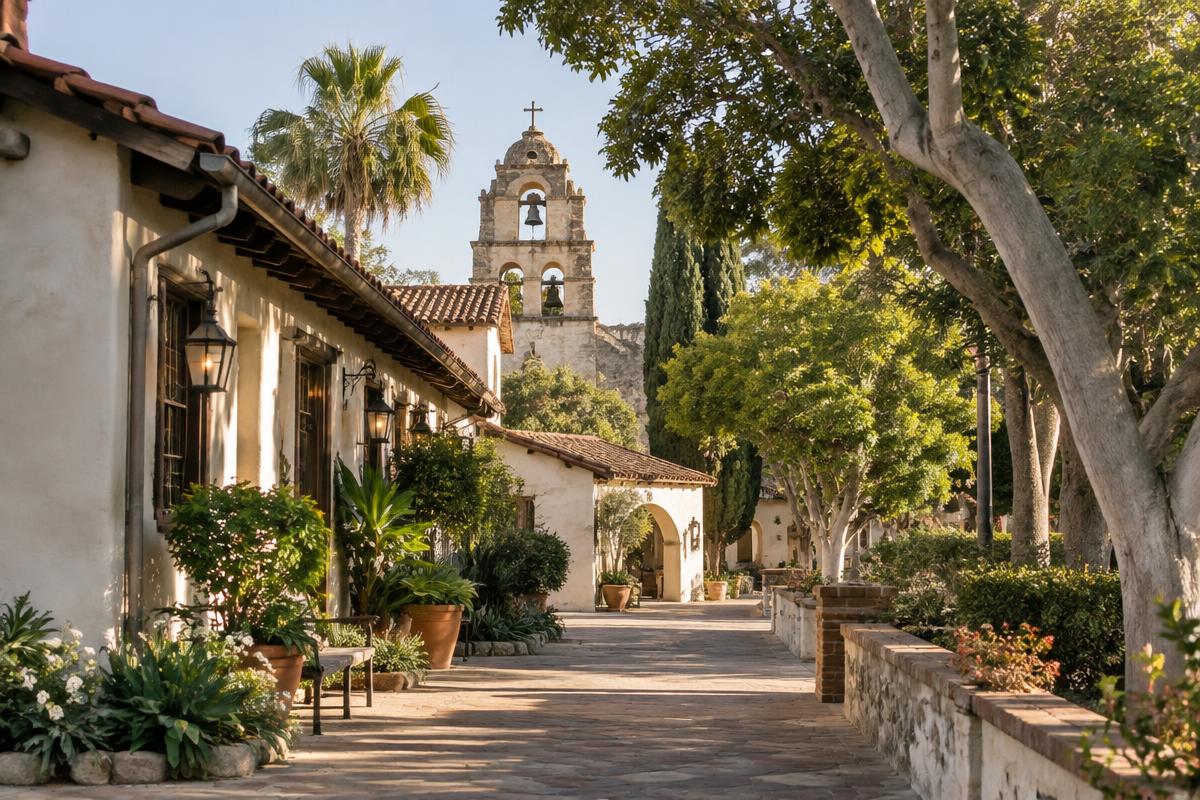
Unlike Rancho Mission Viejo or parts of Ladera Ranch, most of Laguna Niguel was built out decades ago. The result is mature landscaping, varied housing stock, and neighborhoods that have settled into their identity.

Hillside and canyon settings

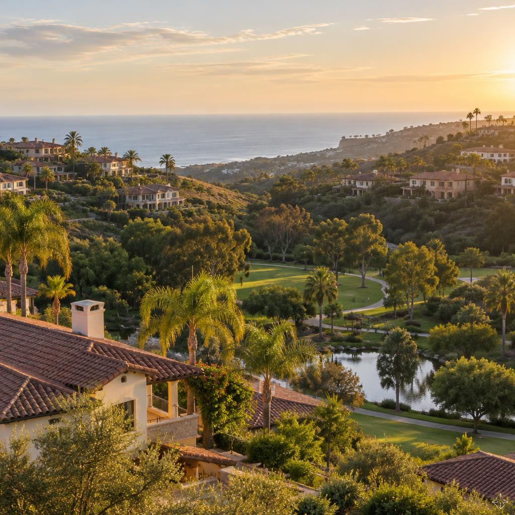
Many neighborhoods climb ridgelines or sit along canyon edges, which shapes both the views and the walkability. Streets are often winding rather than a strict grid.

A quiet, civic rhythm

The city leans residential, with everyday shopping and dining clusters along Crown Valley, PCH, and the Rancho Niguel area. Larger retail and dining scenes are minutes away in Dana Point, Mission Viejo, and Aliso Viejo.

Close to the coast without coastal prices

Laguna Niguel sits inland of Laguna Beach and Dana Point. Most of the city is a ten-to-fifteen-minute drive from the beach, which changes the housing math compared with coastal cities.

The practical tradeoffs

Hillside locations can mean stairs, sloped lots, and views that vary block by block. Understanding exactly where a street sits within a neighborhood matters more here than in flatter communities.

Explore the neighborhoods

Laguna Niguel isn't one market

Housing

The range of homes in Laguna Niguel

  • Established single-family homes on varied lot sizes, from compact hillside tracts to larger view properties.
  • Condos and townhomes throughout, often a first step into the city.
  • Hillside and canyon homes with valley, city-lights, or ocean-distance views.
  • Larger estate-style homes in the southwest hills, including gated pockets like Bear Brand Ranch and Monarch Point.
  • Because the city is largely built out, resales dominate — condition, remodel history, and lot position drive value more than era.

Ownership considerations

HOAs, assessments, and what to verify

Many neighborhoods have no HOA

A meaningful share of Laguna Niguel is established without association dues. Where HOAs exist — gated areas, attached products, and some planned neighborhoods — dues and rules vary widely and should be read per property.

Mello-Roos is less common

Because most of the city predates the era of widespread Community Facilities District taxes, fewer properties carry them than in newer South OC communities. Verify each parcel's tax bill rather than assuming either way.

Hillside properties

Sloped lots, retaining structures, drainage, and view corridors deserve careful inspection and disclosure review.

Insurance

Insurance availability and cost in parts of Southern California have shifted. Get quotes early in the process rather than during escrow.

This is general context, not tax, legal, or insurance advice. Confirm HOA dues, special taxes, and coverage for any specific property with the appropriate professionals.

Parks, trails & amenities

Getting outside

Laguna Niguel Regional Park

A large central park with a lake, paths, picnic areas, and connections into the broader trail network.

Salt Creek Beach

Reached directly from Niguel Road down into Dana Point — the city's de facto beach, with a trail and parking at the top.

Aliso and Wood Creeks Wilderness

The northern edge connects toward the Aliso Creek open space and trail corridors.

Neighborhood trails

The city's trail system links ridgelines, parks, and open space throughout, making walking and running part of daily routines.

Getting around

Roads, neighbors, and the coast

Crown Valley Parkway

The main east–west corridor, running west toward PCH and Dana Point and east to I-5.

I-5

The primary north–south route, accessed from the city's eastern side.

PCH and the beach cities

Pacific Coast Highway connects to Dana Point to the south and Laguna Beach to the north.

Rail

A Metrolink station serves the city, an option some residents use for regional commuting.

Drive times depend heavily on time of day — test your actual commute before committing.

Comparing Laguna Niguel with Dana Point? Laguna Niguel sits inland of the coast — most of it a short drive to Salt Creek Beach — trading immediate coastal access for established hillside neighborhoods and a more residential pace. Comparing it with Ladera Ranch or Rancho Mission Viejo? Laguna Niguel is older and more built-out, with fewer association obligations in many neighborhoods but fewer brand-new homes.

Thinking about buying or selling in Laguna Niguel?

Let's talk through the situation before you make the move.